Australia
24 destinations across 2 countries, from 113 to 1561 metres, ranked by their strongest scored month.
How many of the 24 destinations clear the recommendation gate in each month.
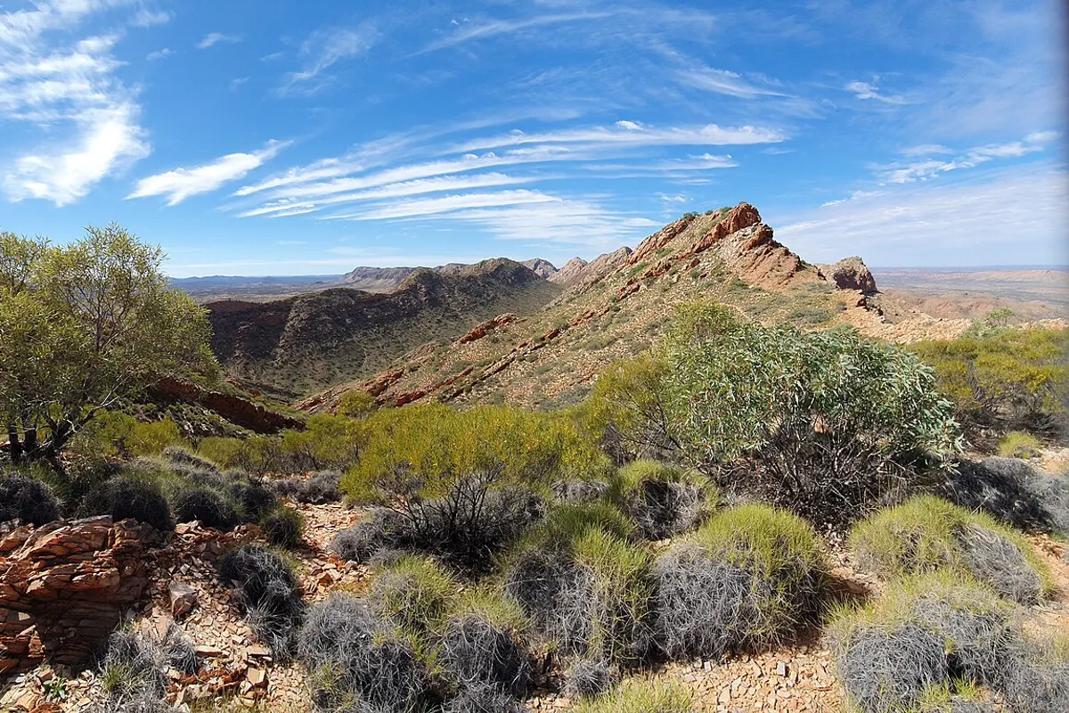
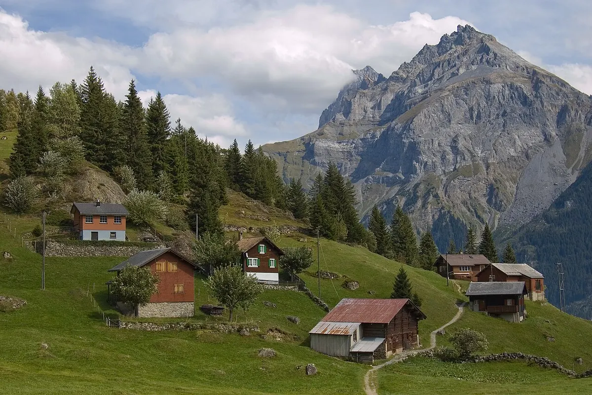
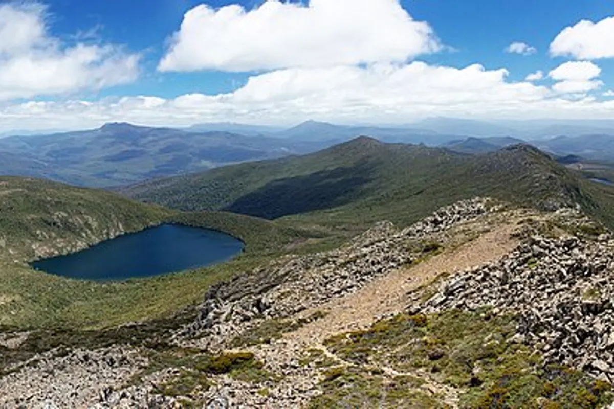
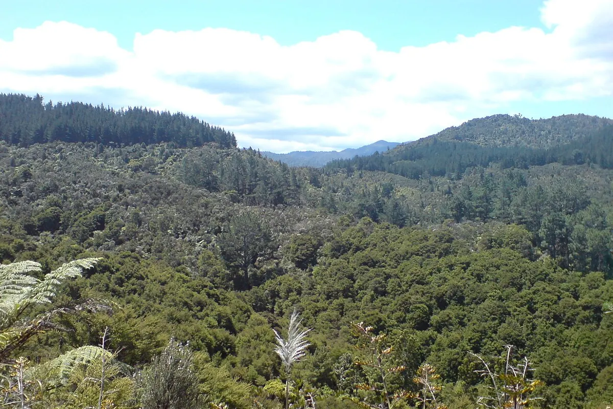
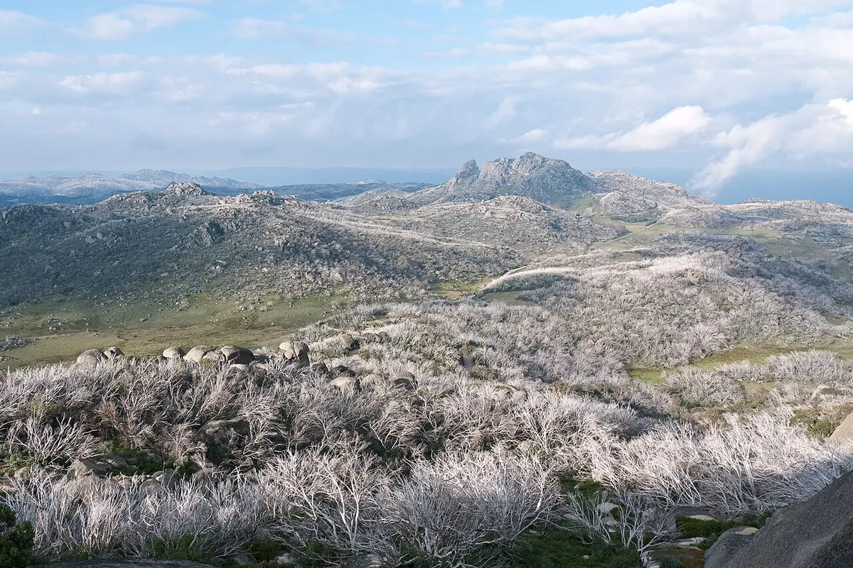
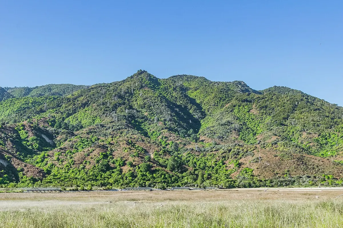
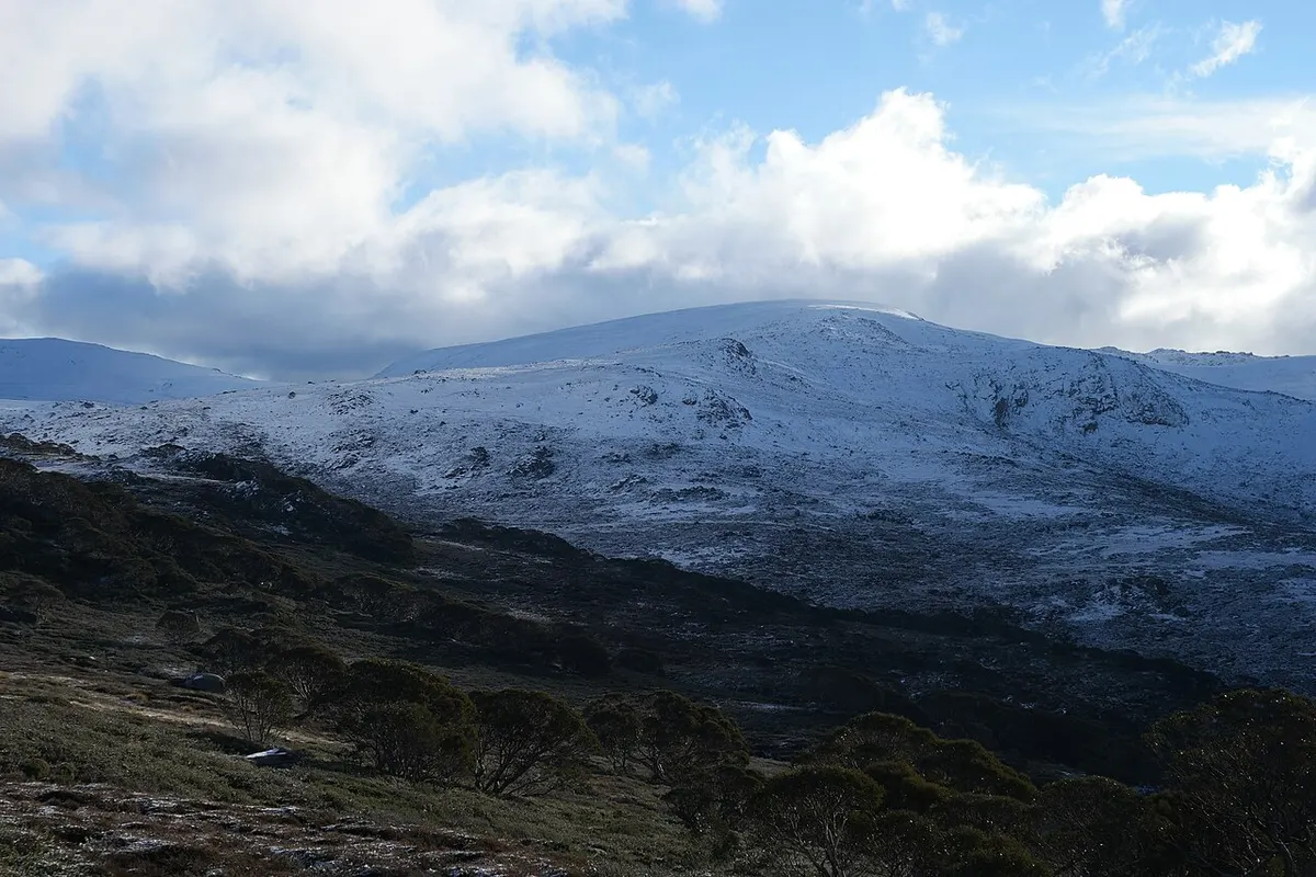
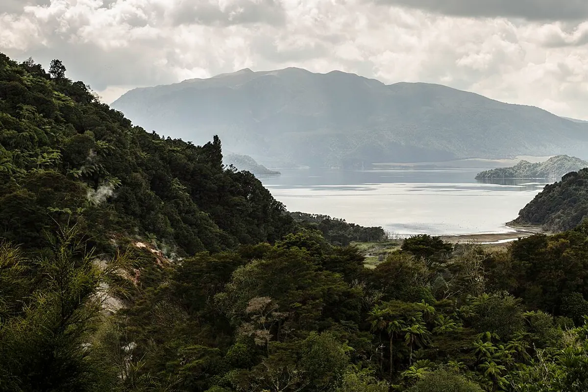
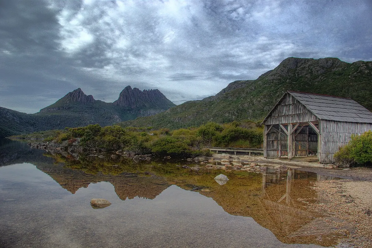
January · February · March
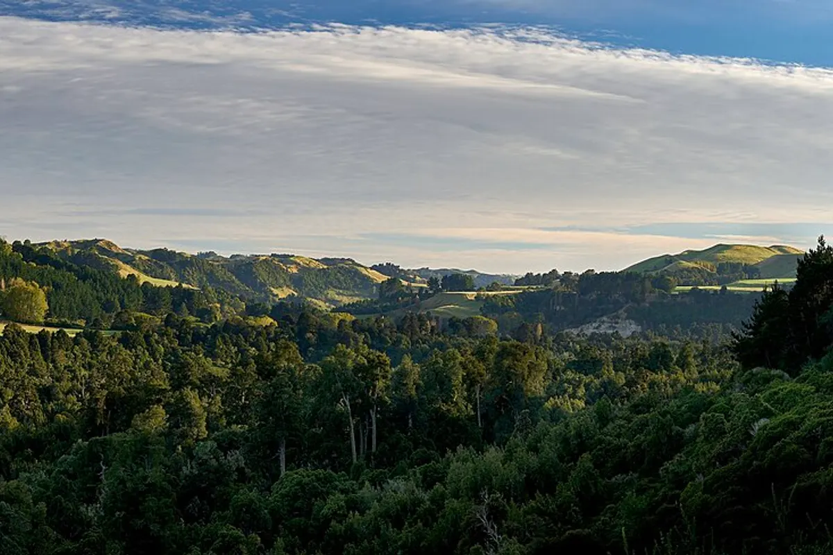
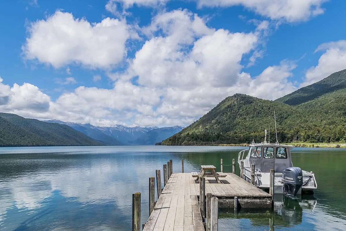
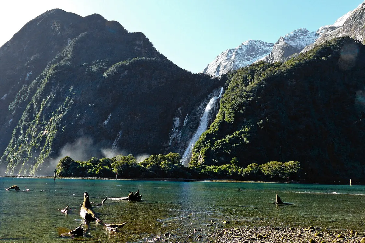
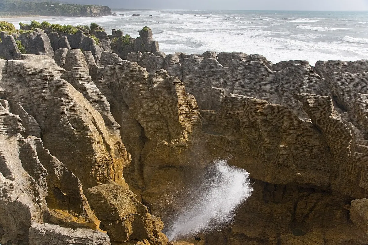
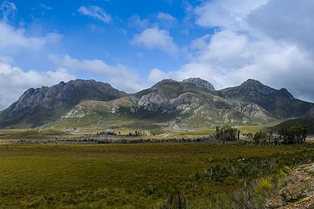
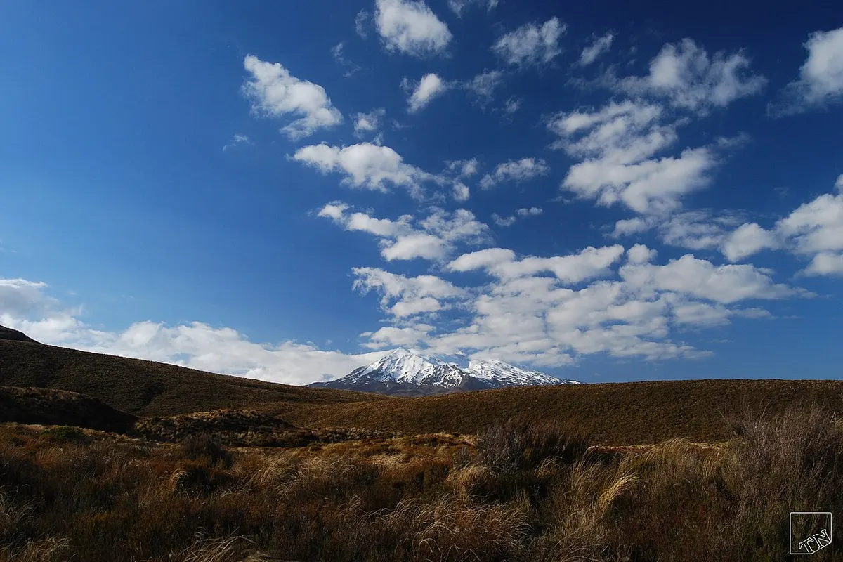
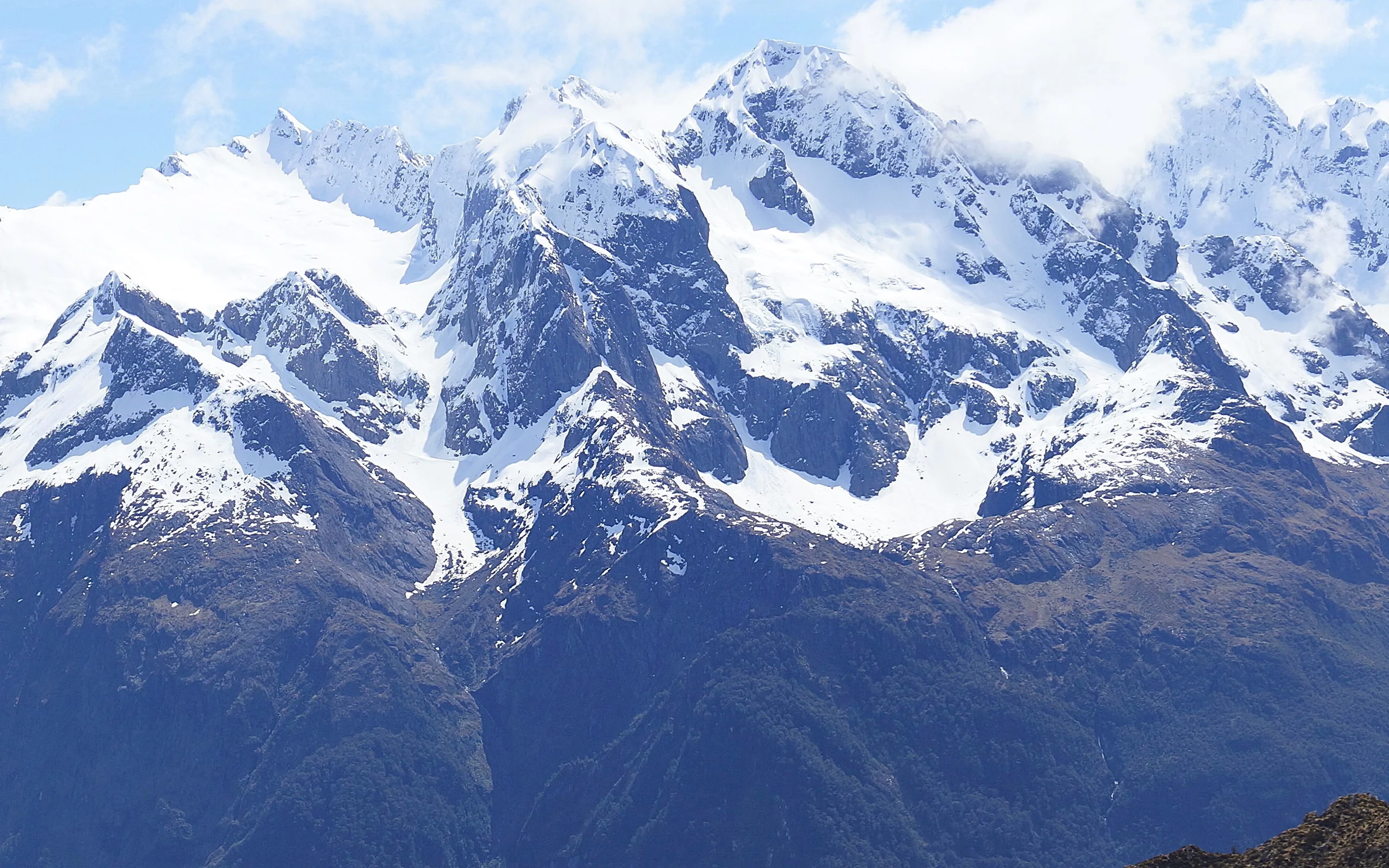
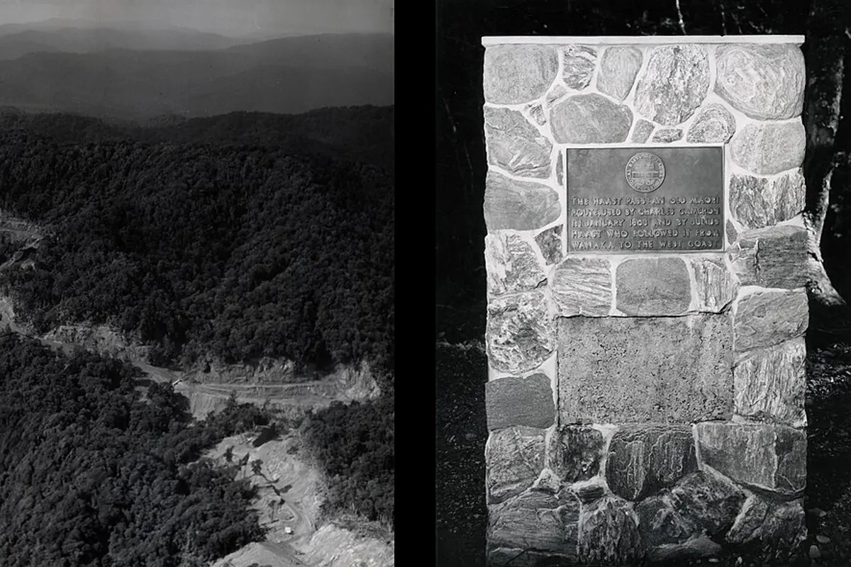
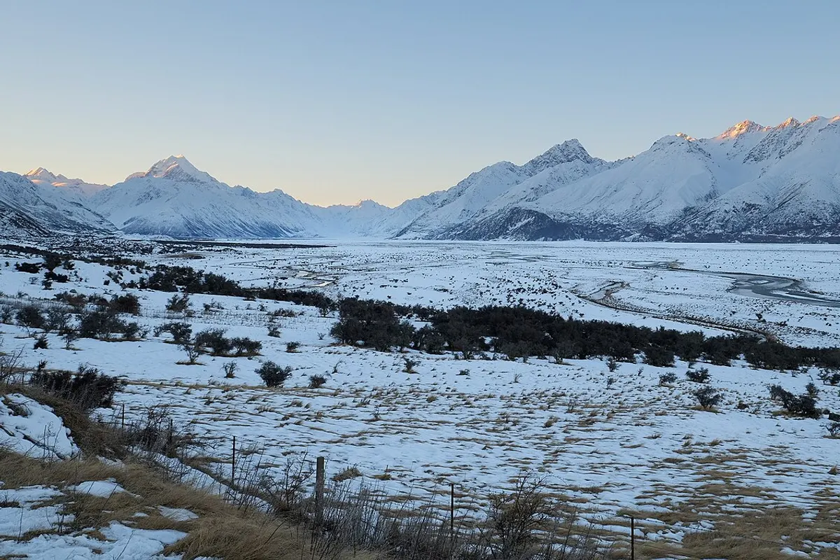
January · February · March
In April and May, 22 of 24 destinations clear our recommendation criteria, more than in any other month. The area is quietest in July and in September, with 18 of 24.
Averaged across the destinations, January is the warmest month at 19 degrees in the hiking window and July the coldest at 7. Every destination here is in the southern hemisphere.
The selected grid cells run from 113 metres at Wilsons Promontory to 1,561 metres at Kosciuszko, with a median of 630 metres. Wilsons Promontory clears the criteria in 12 months (all year), Kosciuszko in 9 months (all year except June, July and August).
The longest season belongs to 14 destinations, including Wilsons Promontory and Lamington, at 12 months each; the shortest to Karijini and Larapinta Trail, at 4 months each.
Where a destination loses months, a critical climate component falls below the threshold at which we stop recommending a month. The main reason is snow cover for 6 of the 24 destinations and heat for 4. 14 are recommendable in all twelve months.
In July, the quietest month, 6 of 24 destinations are closed, all of them by snow cover.
Not counted here are 2 further destinations for which we publish no recommendation. They are listed below with the reason.
April is when the open destinations score highest on average. Hiking-window temperature then runs from 6 degrees at Aoraki / Mount Cook to 21 at Flinders Ranges, and rain falls on 8 to 56 percent of days depending on the destination.
Each destination is described by one selected ERA5-Land grid cell, averaged over 1991 to 2025. The figures above summarise those 24 cells. They are not a map of the whole area or of any route, and they are not a forecast.